Mackenzie River Bun-Nah Trail
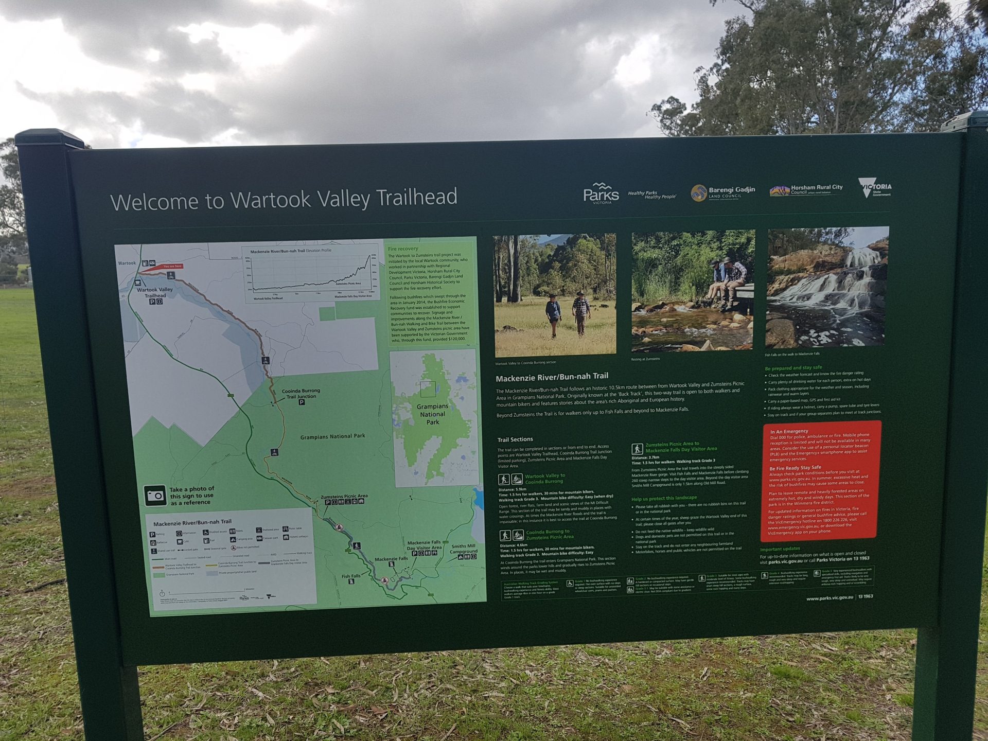
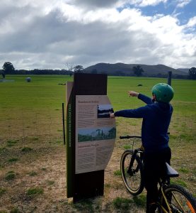
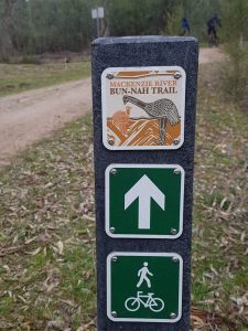
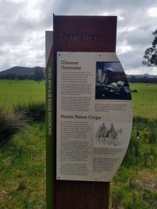
The Mackenzie River/Bun-nah Trail is a historic route that stretches for 10.5km between Wartook Valley and Zumsteins Picnic Area. From Zumsteins walkers can continue on the Mackenzie River Trail for another 3.7km to Mackenzie Falls. Originally known as the ‘Back Track’, the trail closely follows the Mackenzie River, or Bun-nah as it is known to the Traditional Owner. Along the route there are interpretive signs that detail the area’s history and it’s significance to the Jadwadjali People. The trail is open to walkers and mountain bikers when conditions are dry. At times the Mackenzie River floods and the trail is impassable; in this instance it is best to access the trail at Cooinda Burrong.


